|
The eastern peninsula
The eastern peninsula was densely populated until the 1940s and produced large quantities of maize and manioc in dryland farming. Today, only the remains of wide mule tracks and large villages bear witness to the times before the exodus. Apart from Juncalin’ , only Carriçal is still inhabited all year round. The other villages, Jalunga and Urzeleiros, have largely fallen into disrepair and even in Castilhano only an old gentleman lives on an irregular basis. After heavy rainfall, the road between Juncalin’ and Carriçal is closed for months. It is then replaced for a limited time by larger fishing boats, which serve as a ferry connection between Carriçal and Preguiça with special authorisation.
For desert hikers, the trails on the eastern peninsula are just as interesting, rewarding but also dangerous as the trails in the Coroa-Range on Santo Antão. These are by no means trivial exercises that should only be tackled by experienced, well-trained and equipped mountain hikers with full water reserve (5 litres per person), GPS and never alone!
We therefore only describe two of the best-preserved trails over the heights of Tope
Simão giving a lasting impression of this dry, inhospitable and beautiful desert landscape with sweeping views over the entire Barlavento.
There is a little shop near the Village Helth Post in Carriçal. The easiest way to find accommodation is to enquire locally, and it makes sense to have a summer sleeping bag and a sleeping mat with you. A German from time to time and resident has built two holiday houses that can be reserved and rented online(www.saonicolau.de).
A narrow trail called "Camin' de Cinta" leads from Juncalin' up into the volcanic mountain range of the eastern peninsula and meets the former major mule track from Vila da Rª Brava to the villages of the peninsula near Tope Simão.
You walk for over an hour at altitude as if you were floating above the island before descending with difficulty into the dry valley of the Rª de Palhal and the village of Urzeleiros. The village takes its name from the collectors of the dyer's lichen rocella tinctoria, which was exported from Cape Verde to Europe from the 16th to 19th centuries. Large muleroads and houses bear witness to its former importance.
The black sandy beach of Carriçal, in the shade of large palm trees, appears like a Fata Morgana at the end of the desert hike.
| Fishing boats travel between Carriçal and Preguiça about three times a week. It is recommended that you enquire in advance in Preguiça and plan the tour in the opposite direction if necessary. |
Variant over the dustroad:
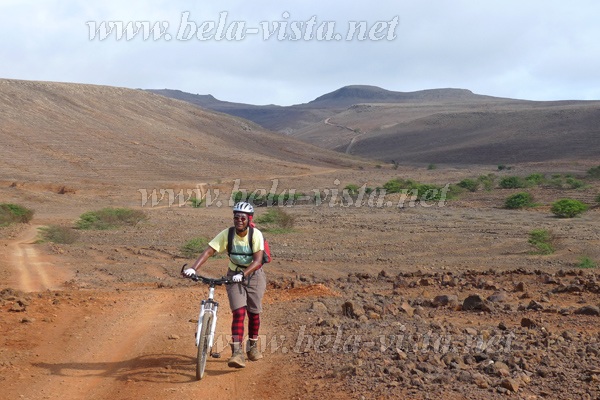
Hikers and especially mountain bikers can use the road as an interesting route. It runs close to the abandoned village of Jalunga - if you want to, recognise the footpath through the village and choose this. Navigation is self-explanatory.
Starting point
is the end of the village of Juncalin', more precisely the last houses in the direction of the cemetery. [CINT01] At the edge of a wild rubbish dump ↙ descend into the valley and reach the plain on the opposite side and walk ↘ towards a pasture wall, but do not go through the pasture gate but climb up the slope on a narrow path ↓. A protruding rock is bypassed ↙ to the east [CINT02]. You then enter a rocky region and reach a small pasture gate at the entrance to the gorge-like Rª Comeira on an increasingly steep trail [CINT04]. (Please close it again!)
Traversing on the right shoulder of the slope, you finally reach the erosion gully and the trail loses itself between goat tracks. It is best to go ← below a rocky clearing before gaining height ↙ and reaching the pass between Cabeço de Dorré and Tope Simão. [CINT05] (572m) Rain and donkey hooves have left only a scree slope of the once beautiful wide mule trail.
On the southern slope of Tope Simão [SIMA01], you can already see the further course → of the largely flat mule track lined with quarry stone walls, which crosses over to the slope of Tope de Chuva where it meets several paths at Selada de Chuva [Chuva01] (583m).
Variant 301a on the ridge
through Monte Alto das Cabaças Nature Park to the road starts at Selada de Chuva [Chuva01] (583m).
Further on
the former mule track climbs gently ↘ to the wide pass of Cova de Nego. [NEG01] (559 m)
About 500 metres → further on, the descent ↘ to the Rª de Palhal begins on poor ground. A herd of lean cows maintains a sand and gravel trail with their hooves, which inevitably leads to the left shoulder of the slope in the lower part of the valley. [CARR01] and then down ↓ to the four watering holes in the Cabeça de Carriçal. A climb ↘ on the opposite slope takes you up to Chã de Gombeza [CARR02], past the soccer ground and into the Carriçal neighbourhood to the right of the Ribeiras.
The tour ends after crossing the black sandy beach in the shade of palm trees in front of the tuna factory. [CARRIC] (USB)
Starting point in opposite direction
is the tuna factory. [CARRIC]
The trail descends to the beach, climbs up the opposite slope ← to the soccer field and leads slightly uphill ↑ to the right of the Ra do Palhal to a ridge [Carr02], from where you can overlook the further course of the Ra do Palhal and then cross the valley floor. |
|