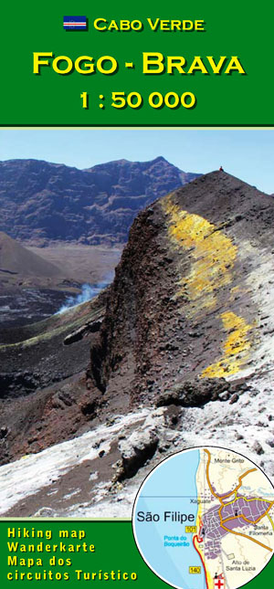
Fogo
The Pico do Fogo
is the highest elevation of the Cape Verde Arquipelago an the third highest in the atlantic ocean; a regular, active volcanic cone of almost 3000 m height. In the wide circle of the huge main crater, the Ch„ das Caldeiras, lie two small villages that were almost completely destroyed by the whims of the active volcano in 2014. To the east of the Ch‚ sits a satellite peak like a volcano on the volcano, the mighty peak of Pico (2829m).
The 1995 eruption
has created a side-pipe and a smaller side-vulcano, called Pico Pequeno.
The 2014/15 eruption
had far worse consequences for the population. The villages of Portela and Bangaeira were almost completely destroyed by the flowing lava. On the slope of the Pico, near the Pico Pequeno of 1995, another series of craters emerged, where geological phenomena typical of very young volcanoes can be observed.
At the seaside
lie the small towns, São Filipe and Mosteiros. They are characterized by the flair of colonial tradition and the 500-year-old pride of the patrician families, rich in culture and history and most suitable to relax peacefully.
Hikers
find a wide range of mountain hikes, not limited to the ascent of the majestic volcanic peak. Especially attractive are the paths along the rocky crater rim and the descents on the north-eastern slope covered by semi-moist cloud forests, through coffee and banana groves down to the sea. After the ring road around the island is closed, an island tour is almost a tourist must.
Our Hiking and leasure time map 1:50000
of Fogo and Brava open up 52 trails and thus completely new opportunities in the diverse landscapes of the two islands.
