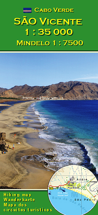
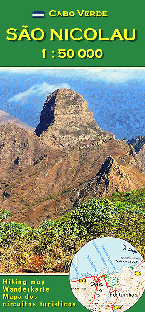
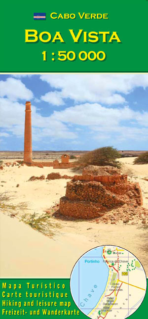
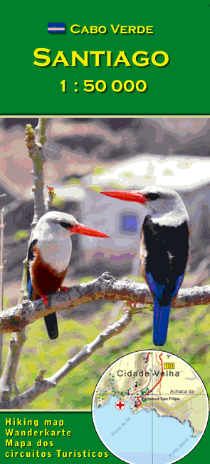
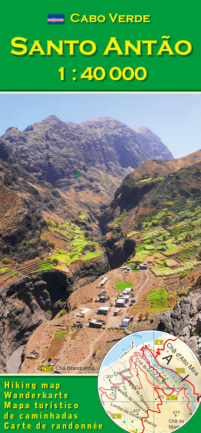
Santo Antão
is the island with the most impressive mountain relief of Cape Verde. Spectacular mountain landscape and very many trails and former mule-tracks make the island the favourite of ambitioned hikers and mountainbikers.
The Map
is the legacy of four decades of the author's hiking experience in Cape Verde and it is updated on the spot regularly.- Scale 1:40 000
- large sheet of 70x100 cm covering both sides
- re-enforced map-paper
- GPS-compatible by use of a WGS 84 datum
- Signatures and printing easy to read
- Coloured altitude-contours and shading>
- 60+ suggested hiking routes, classified for hiking and MTB
- dive spots, viewpoints and points of interest
City Maps
- Cidade do Porto Novo
- Cidade da Ribeira Grande
- Ponta do Sol
Legend in four langages:
- English
- German
- French
- Portuguese
Travel Literature from Tourist Information Lucete Fortes
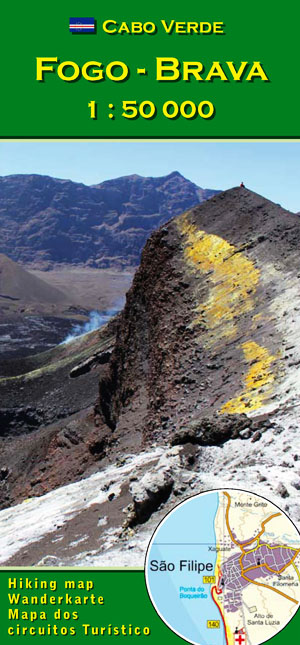
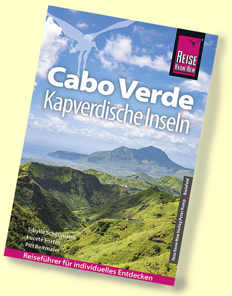
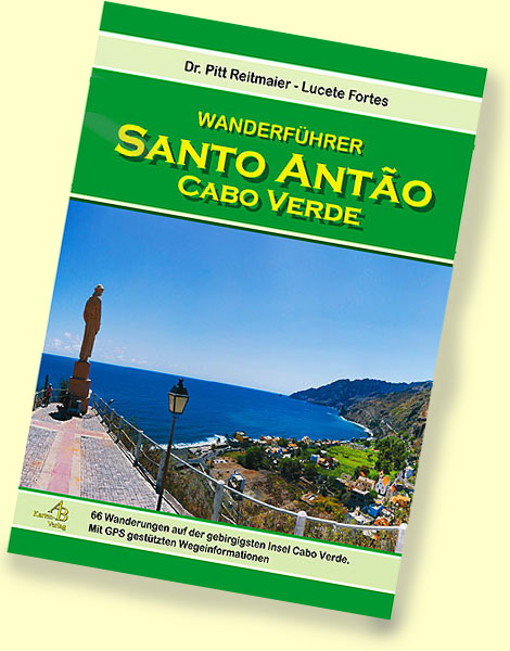
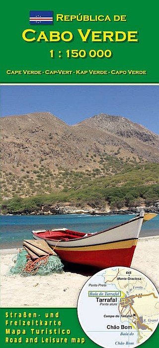
Maps, Hiking Guides and Travel Guides of Cape Verde
are available in the shop / kiosk of Tourist Information Lucete Fortes on Santo Antão and São Vicente islands
and can be ordered via internet in the online bookshop
shipping daily from Germany
latest edtions - low shipping rates
Search in Bela-Vista.net and Cabo-Verde-Foto.com |
