Starting point
is a junction from the road in Cabeçalinho [CABE20] (585m). It is located about 350 m south of the crossroads at the water distributon point, where a modern concrete building suspended in height cannot be overlooked.
The clear trail to Cachacinho branches off at the beginning of a quarry stone retaining wall ↘ from and climbs up to the single farm Cachacinho, which can be touched or bypassed by a steep shortcut, and then → near the ridge of the southern peninsulas ↓ to reach the Selada Portela [PORT12] (698m) with views of the basin of Portela. Straight as a die the mule track goes down to the square [PORTELA] (591m) where it meets Trail 101.
Detours
to the Selada at the Tope Vermelin' [PORT04] (634m) and to Tope de Mesa (755)
are very rewarding, as you overview the long eastern peninsula. You can find the description under route 101.
 Continuing
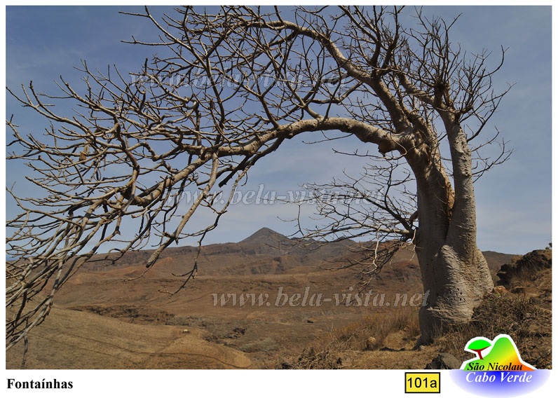
on an always well-passed path, you follow ↘ the shoulder of the slope, now with a wide view of Monte Gordo and down to Tarrafal. Some picturesque monkey bread trees, despite their sturdy stature bent by the trade wind, mark the beginning of the village of Fontainhas.
At the year-round running well [FONTAINHA] (529m) there is some shade, during a rest you can refill the water supply. The wide village road ↘ ↙ leads to the beginning of the dust road [FONTA12] (540m).
Whether the five kilometres on the Straubstraße ↙ go downhill with difficulty or flow like nothing is a question of temperature.
Finally, the road leads through the homonymous Fontainhas district of Tarrafal ↖ to the stadium and into the city.
Starting point in opposite direction
the Shell filling station [TFSHELL] (29m) at the football stadium. An unpaved road ↓ leads to the ridge of the Fontainhas area and continues along the dustroad ↘, crosses the Rª Cacimba and climbs on its left shoulder → for one kilometre.